Get to Know Salesforce Maps
Learning Objectives
After completing this unit, you’ll be able to:
- Explain Salesforce Maps location intelligence technology.
- List Salesforce Maps product features and add-ons.
Welcome to the world of Maps! If you’ve used Salesforce, you probably heard about Maps and wondered, “What is this Maps thing? How does it work? What can I do with it?” Wonder no more. In this module, we explore Salesforce Maps and different ways you can use it.
In the age of technology we’ve been socialized to use and share our locations. For example, rideshare apps use location technology to get riders from one place to another in the least amount of time. Salesforce Maps brings that same technology to your Salesforce data. This multi-cloud app brings location intelligence technology to the Salesforce Cloud and centers around four main categories.
- Visualizing data
- Territory planning
- Tracking live locations
- Optimizing routes and schedules
Visualizing Data
Salesforce Maps is built on the Salesforce platform, so you can do much more than just visualize your data; you can interact with and change data as needed. Let’s say you have a business requirement to visit all of your opportunities projected to close this month. Visualize the locations of your opportunities by stage to prioritize which accounts to visit first, log your calls, enter notes after each visit, and change required fields. This can all be achieved from the Salesforce Maps interface.

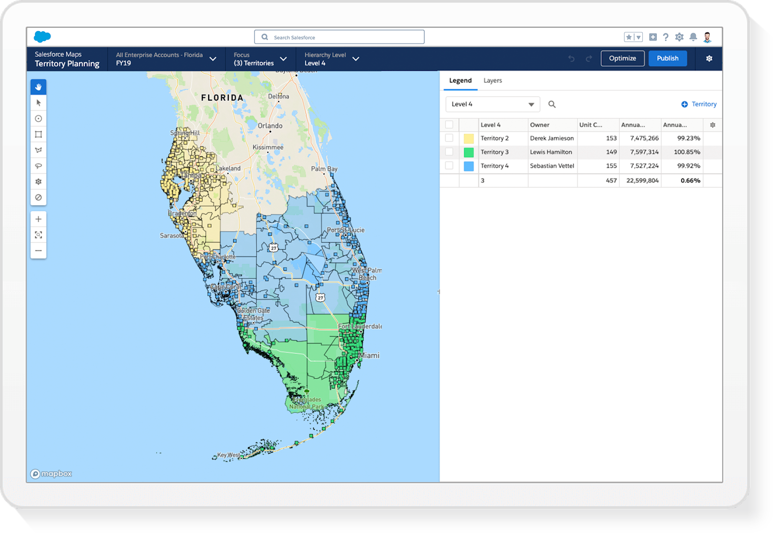
Territory Planning Overview
Data visualization also provides insight into territory alignment boundaries. This data helps you determine how many reps are needed in a specific territory and exactly where they need to be to maximize sales resource capacity. With Territory Planning, companies can build, collaborate on, and optimize the perfect sales territories to eliminate guesswork and align with business goals.
Tracking Live Location
Live Tracking allows you to put a pin on the map to track the location of delivery drivers, technicians, and any asset in your organization. For example, location sharing is used when connecting with rideshare apps on your mobile device. Essentially you’re using your location to put a pin where you want the driver to find you. Salesforce Maps Live Tracking provides the same functionality on a larger scale by allowing organizations with multiple assets the ability to track and save driver location and activity.

Optimizing Routes and Schedule
Think about an app that helps you avoid traffic. It provides you with the best way to get from one point to another – simple enough! But things get more complex when an entire organization wants to optimize site visits. Not only are many people visiting many customers with various stops along the way, but they must make smart decisions about who to visit, when, based on business rules and requirements. With Salesforce Maps, companies can see lots of customers efficiently, and ensure they’re seeing the right customers based on business need.

Dive into the Product Features and Add Ons
Let’s start by reviewing the core functionality of Salesforce Maps: visualize your data, plan territories, track locations in real time and optimize your business process through schedules and routes.
As mentioned earlier, visualization is a main component of Salesforce Maps. The map interface helps you better understand hard-to-find data to make location-driven decisions that drive productivity. With Salesforce Maps, there’s no more wasted hours spent planning the best sales route to travel and no more unnecessary driving across town.
As you take stock of all the things you can do with Salesforce Maps, let’s look at how Candace, a sales rep at Cloud Kicks (a custom sneaker and bulk retail organization), uses Salesforce Maps.
Candace needs to schedule onsite account meetings when she travels to Ohio later this month. She uses Maps to view all of her accounts in Ohio and starts planning optimized routes so she can visit a large number of accounts while in that area. Candace logs her calls, sends emails, and creates new events or tasks directly from the map view. If she notices any gaps in her travel route or schedule, she can increase her productivity through lead generation by searching for prospects using two options.
- The search bar, which returns a Google search of retail stores in the area.
- Business data layer, which plots all sneaker distribution companies in the area.
Once her search results are displayed on the map, she calls potential prospects, adds them to her route or schedule, and adds them as a lead in Salesforce with just a click of a button. In Salesforce Maps terms, this button is referred to as Click2Create®.
Salesforce Maps Advanced
Salesforce Maps Advanced injects location intelligence into field operations by focusing on constraint-based route optimization in the following ways.
- Automate route planning for up to 4 months.
- Use business rules, such as visit cadences, time windows, and priority levels.
- Maintain scheduled appointments and reschedule missed visits.
Let’s look at how Salesforce Maps Advanced can help Candace at Cloud Kicks. Candace covers a large territory and often schedules overnight trips with routes starting and ending in different cities. She schedules visits based on business requirements: She must visit each store a minimum of once a month and never during peak hours. Candace also carries high quotas. To meet these quotas, she prioritizes store visits based on potential all-commodity volume (ACV) and Einstein scores. With Salesforce Maps Advanced, these requirements, constraints, and priority levels are automatically applied. Candace saves hours of planning since her routes are automatically generated all while maintaining scheduled appointments and rescheduling missed appointments.
Territory Planning
Both effectively planning and managing sales territories are fundamental to reaching revenue targets. It can be the difference between exceeding key performance indicators (KPIs) and struggling to generate enough business. Territory Planning can be purchased standalone or in addition to Salesforce Maps. In many companies, sales territories evolve naturally until they become unmanageable. However, a proactive approach to planning territories can ensure your sales organization is optimized from the beginning. Smart planning of territories aligns sales resources with revenue potential and creates efficient territory boundaries so reps can service more accounts in less time. In addition, advanced territory optimization can be used to build and realign optimized territories which maximize geographic potential and reach, without affecting current plans.
Live Tracking
Live Tracking is an add-on product to Salesforce Maps, and it allows business leaders to track vehicle, asset, or equipment location in real time for visibility into field operations. It also automates business processes.
Imagine your organization has assets in the field. Live location intelligence can help business leaders visualize the data they get from assets, such as speed or distance from a specific location. They can view this data on a map, store it in Salesforce, run reports on the data, and look at historical data trends. Live Tracking can answer questions like “Where are your drivers?” and “Can I be notified when a vehicle is close to a location?”
Live Tracking can be used to automate business processes in the following ways.
Use Live Tracking to: | |
|---|---|
Utilize Geo-enabled Features |
Automatically update work order status or check-in/check-out requirements. Calculate time-on-site. Send follow-up communication. |
Provide Accurate Performance Data |
Build performance dashboards. Plan for future success with accurate location-enabled performance data, including multiday tracking history. Monitor unplanned stops, safety infractions, and miles driven per day. |
Control Inventory and Capture Revenue |
Confirm on-rent vs off-rent inventory based on asset’s location. Locate misplaced or lost assets. Proactively schedule maintenance based on performance data. |
Enforce Geofencing Accountability and Productivity |
Set geofences using longitude and latitude coordinates, territory/geographic boundaries like state lines, or proximity to customer. Ensure reps aren't traveling outside of their zones. Enable alerts of any unauthorized travel or movement. Automate follow-up communication. |
Ensure Mobile Compatibility |
Access Live Tracking data inside your iOS or Android device via the Live App. Easily toggle Live Tracking on or off to ensure performance and historic location data is accurate and accessible in Salesforce. |
Salesforce Maps makes it easy to visualize data and optimize field operations. With location intelligence embedded directly in the Salesforce Platform, organizations can drive revenue and improve efficiency.
Resources
- External Site: Salesforce Maps Territory Planning Demo
- Internal Site: Location Intelligence Empowers Field Workforces